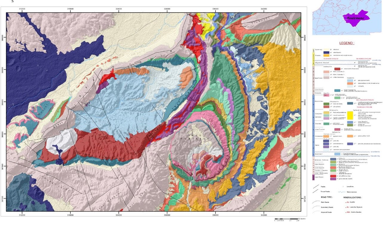
Geological Mapping
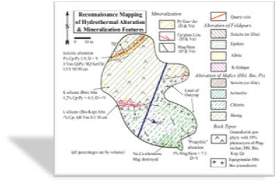
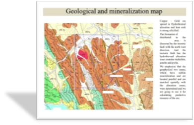
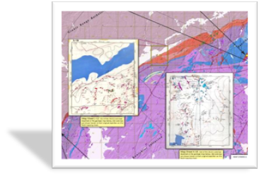
Geological mapping is a fundamental tool in understanding the geological characteristics of an area. It involves the methodical recording and depiction of various geological features, such as rock types, structures, and mineral occurrences, onto maps. This process not only provides a visual representation of the Earth’s surface but also offers insights into the underlying geological processes that have shaped the landscape. By identifying different rock formations, structures like faults and folds, and mineral deposits, geological mapping aids in recognizing favorable settings for mineralization. Moreover, it contributes to a comprehensive understanding of the geological framework of an area, facilitating informed decision-making in mineral exploration, resource assessment, and land-use planning
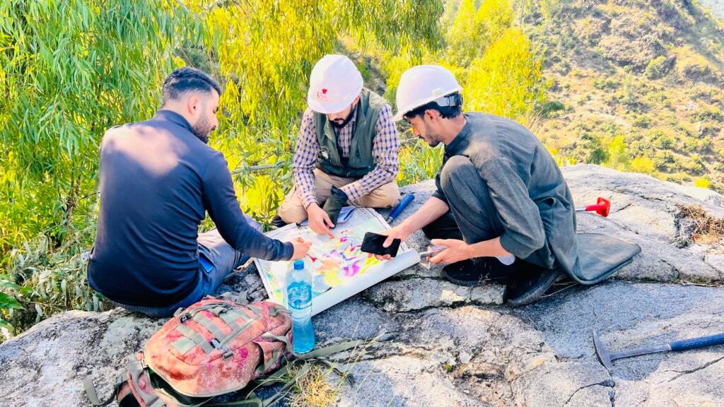
Exploration & Mining
Lorem ipsum dolor amet, consectetur adipiscing elit, sed tempor incididunt.
- Best mining machines the coal mining
- Nulla aliquet sapien nec enim porttitor
- We have great skilled working engineers
- Hardworking staff and engineer's
Efficient Engineers Team
Lorem ipsum dolor amet, consectetur adipiscing elit, sed tempor incididunt.
- Best mining machines the coal mining
- Nulla aliquet sapien nec enim porttitor
- We have great skilled working engineers
- Hardworking staff and engineer's
Frequently Asked Questions
Lorem ipsum dolor sit amet, consectetur adipiscing elit, sed do eiusmod tempor incididunt ut labore et dolore magna aliqua. Ut enim ad minim veniam, quis nostrud exercitation.