Geological Site Investigation
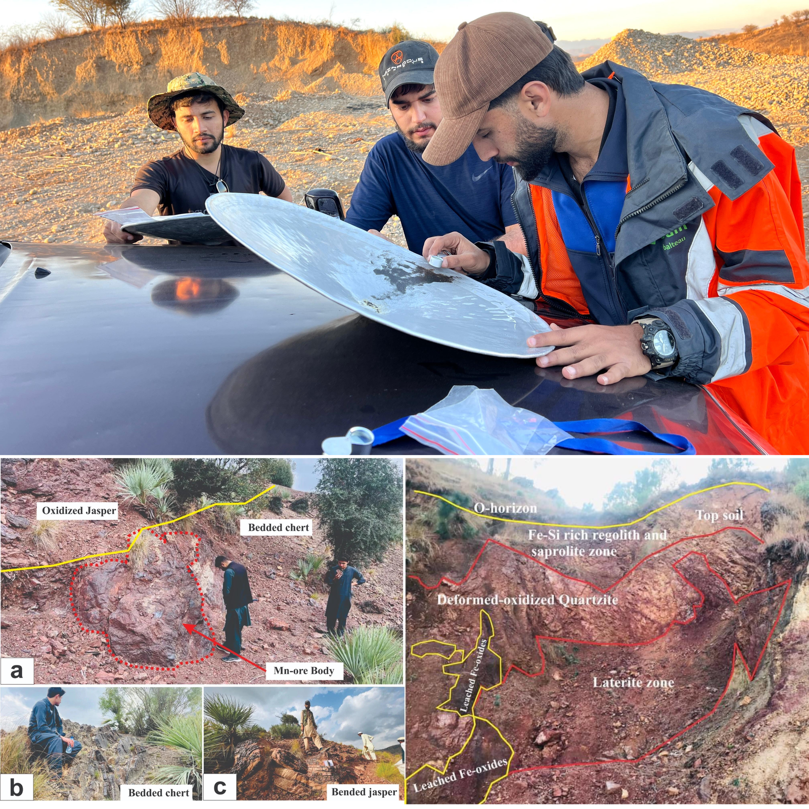
Geological site investigation is a crucial process in various industries, including construction, mining, environmental consulting, and infrastructure development. It involves the systematic study and analysis of the geological characteristics of a particular site to assess its suitability for a proposed project, identify potential risks or hazards, and inform decision-making processes.
- Grid zone development
- GIS & Remote Sensing
- Multiple Traversing on selected grids
- Float sampling
- Target Generation
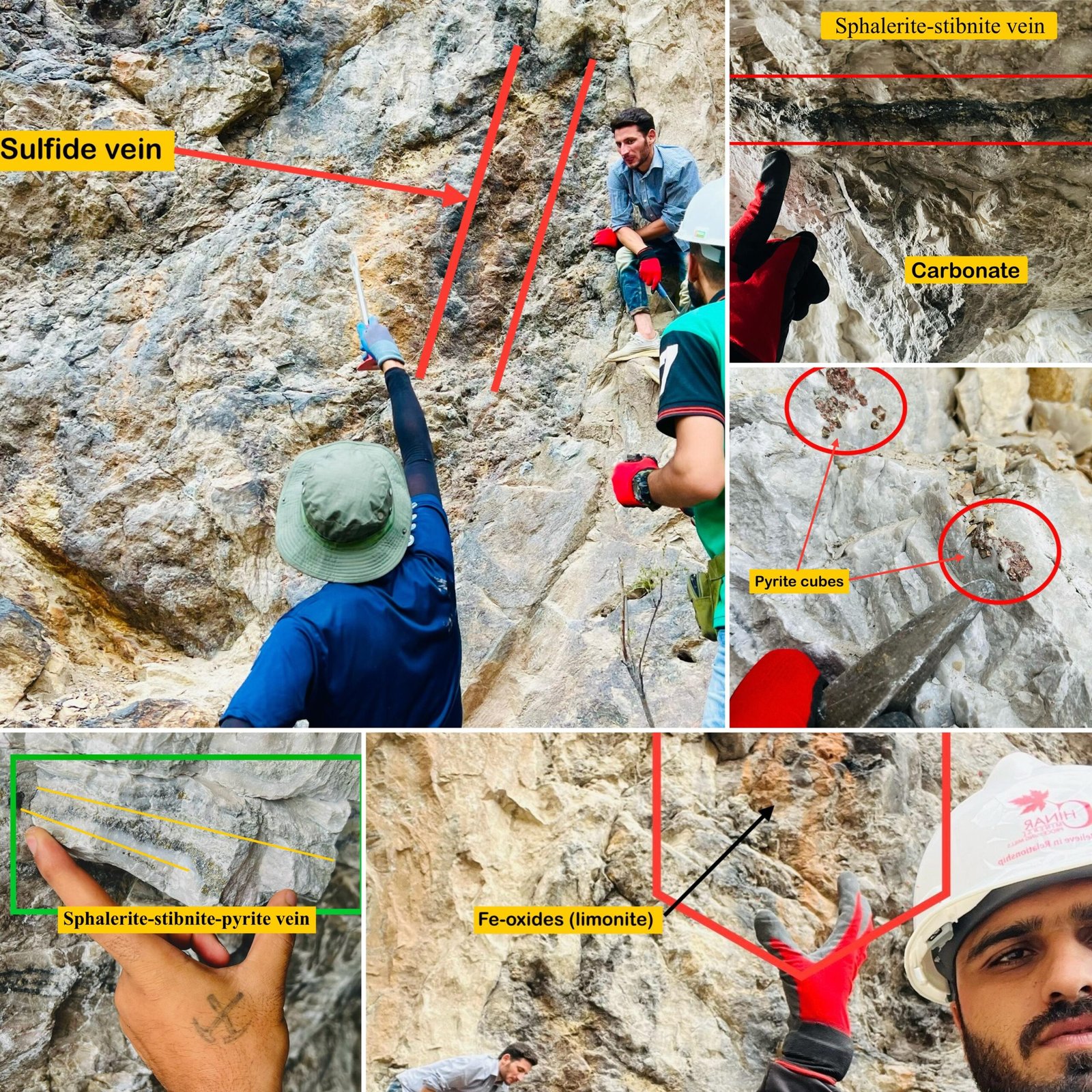
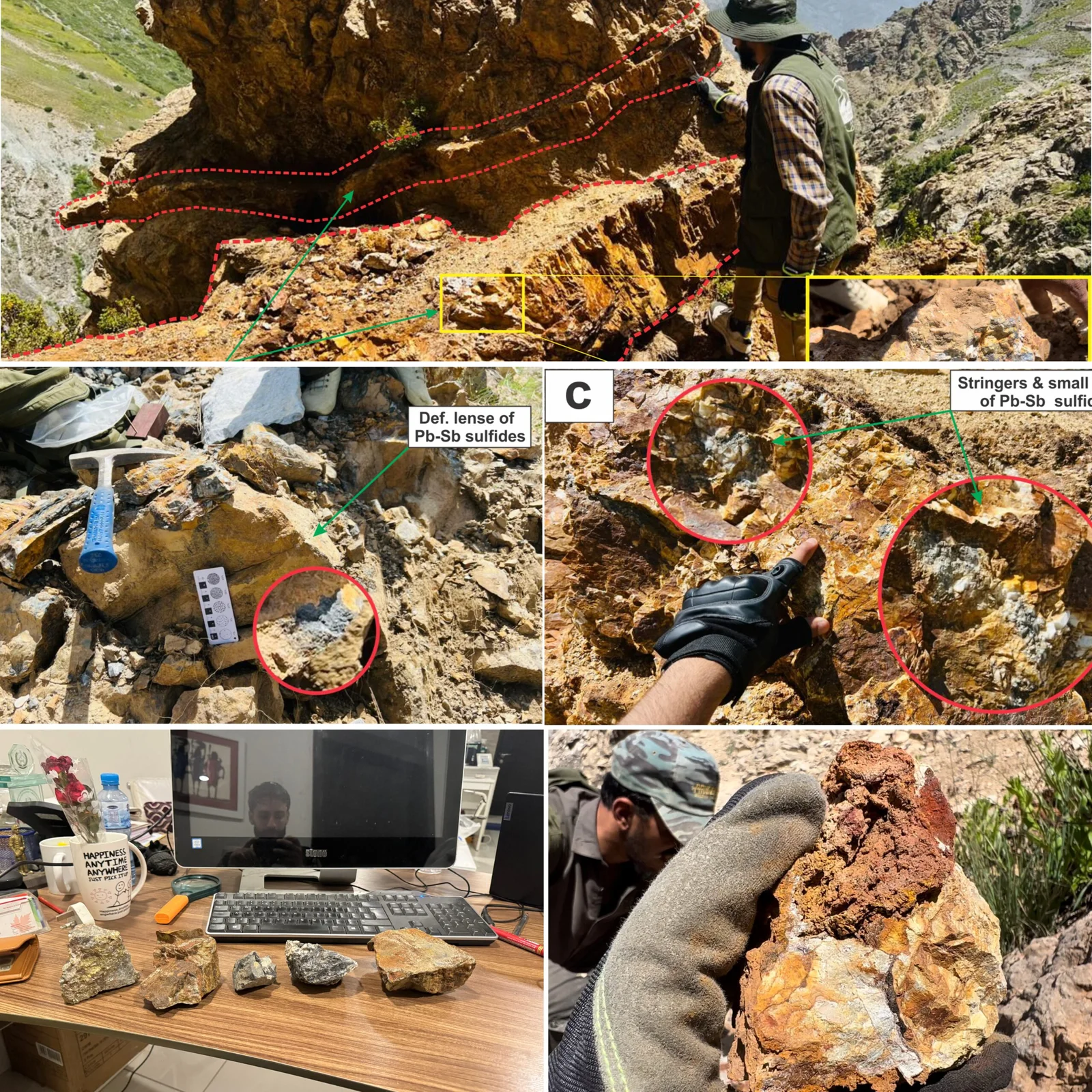
- Identifying outcropping mineralization & zones of alteration
- Detailed rock-chip and soil sampling
- Grid XRF scanned line survey
- Shallow pattern drilling
- Prospect scale geological-structural mapping
- And geological sketch mapping for zone of mineralization.


