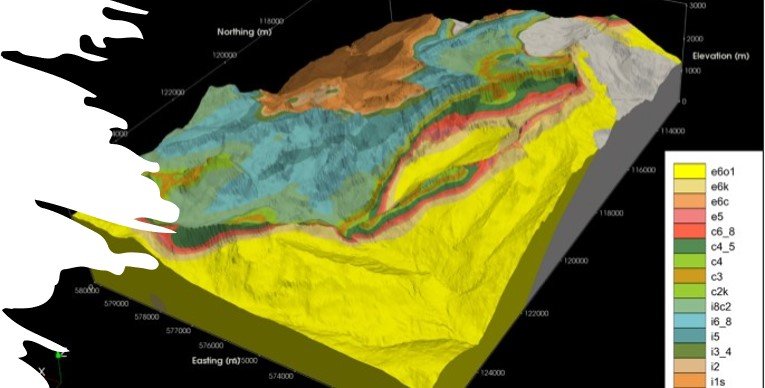
Geological Modeling
Geological modeling is a sophisticated process integrating diverse geological data and advanced computational techniques to create detailed 3D representations of subsurface geological structures and properties. It begins with data collection from sources like geological maps, borehole logs, and seismic surveys, which are analyzed to identify features such as rock units, faults, and mineral deposits. Specialized software tools are then used to convert this data into comprehensive 3D models, incorporating geometric representations and physical properties like porosity and lithology. Validation and calibration ensure model accuracy, while uncertainty analysis addresses data limitations. These models find applications across industries, aiding in reservoir management, mining planning, and environmental assessment. By providing insights into subsurface geology, they facilitate informed decision-making and sustainable resource management, contributing to advancements in energy, mineral, and environmental sectors.
